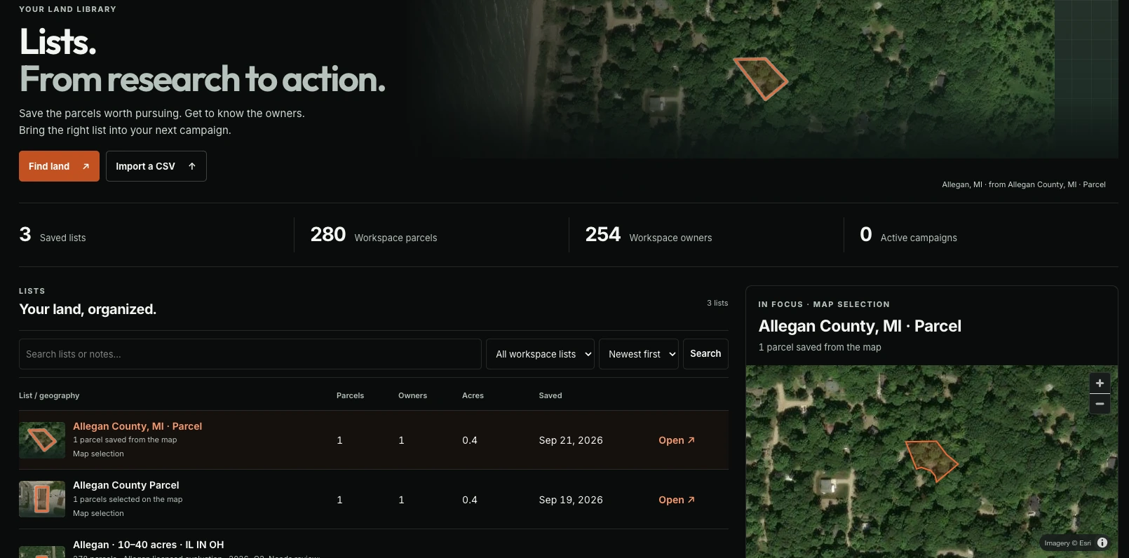
Buying land in Allegan County: start with these records
 LandOSMap · Allegan County
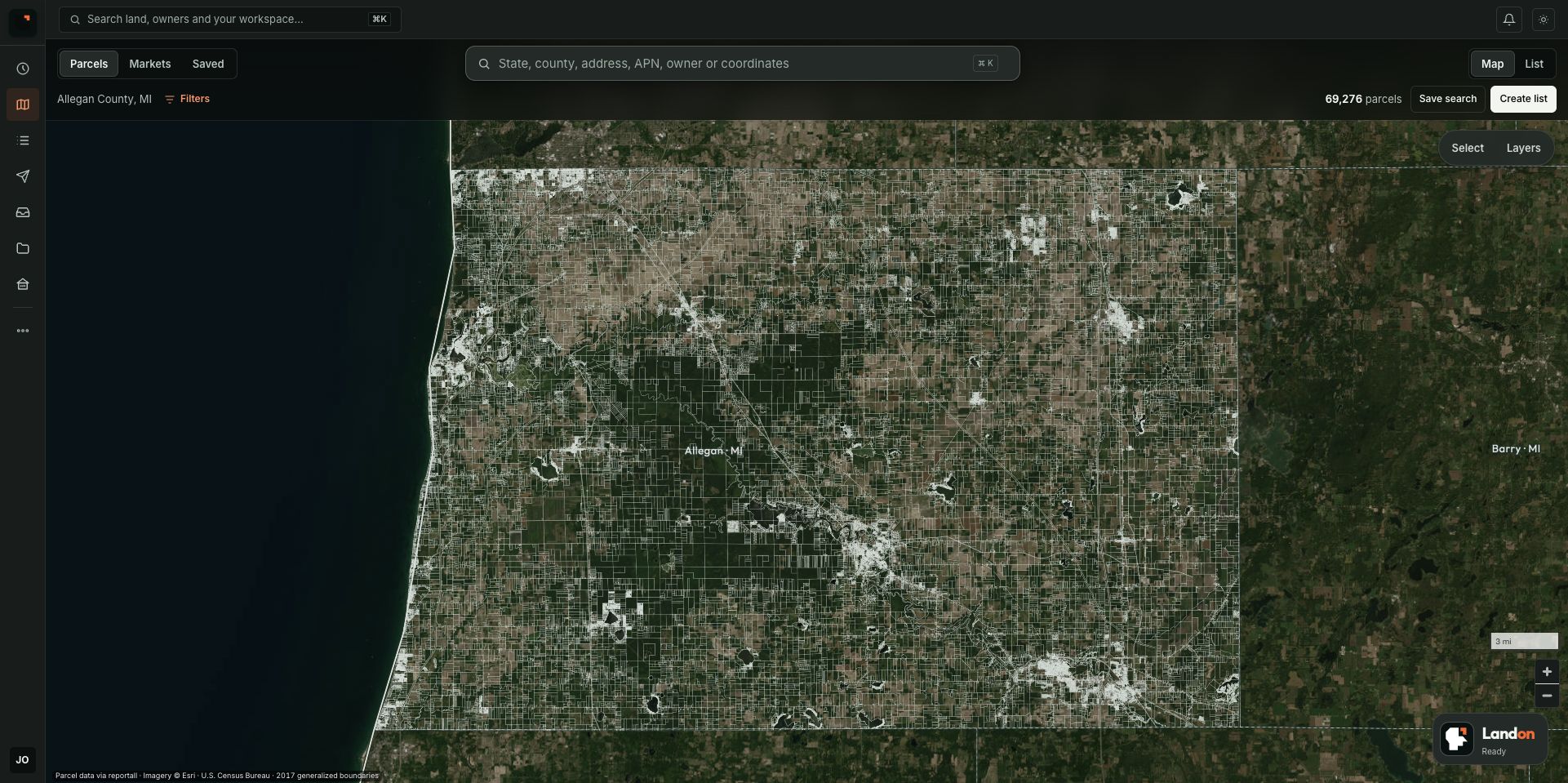
A wooded lot can look perfect in a listing. That does not tell you whether you can reach it legally, build what you have in mind, or install the services you need.
Before you compare prices, find out what you are actually comparing. This guide walks through a first parcel review in Allegan County, Michigan, starting with the records and offices that can help answer those questions.
Start with one parcel and one intended use
Write down what you want to do with the property. “Buy some land” is too broad to research. “Build a year-round home” gives you specific questions about access, permitted use, water, wastewater, and construction.
Other uses raise different questions. A weekend campsite, a storage yard, and a parcel held for resale should not share a copied checklist with every box marked complete.
Open the county's Parcel Viewer and find the parcel ID. The county also publishes a viewer tutorial.
Record the parcel ID, listed acreage, location, and township or city. Save the source and the date you checked it. Treat a mismatch between the listing and the record as a question to resolve before moving on.
LandOSMap · Parcel boundaries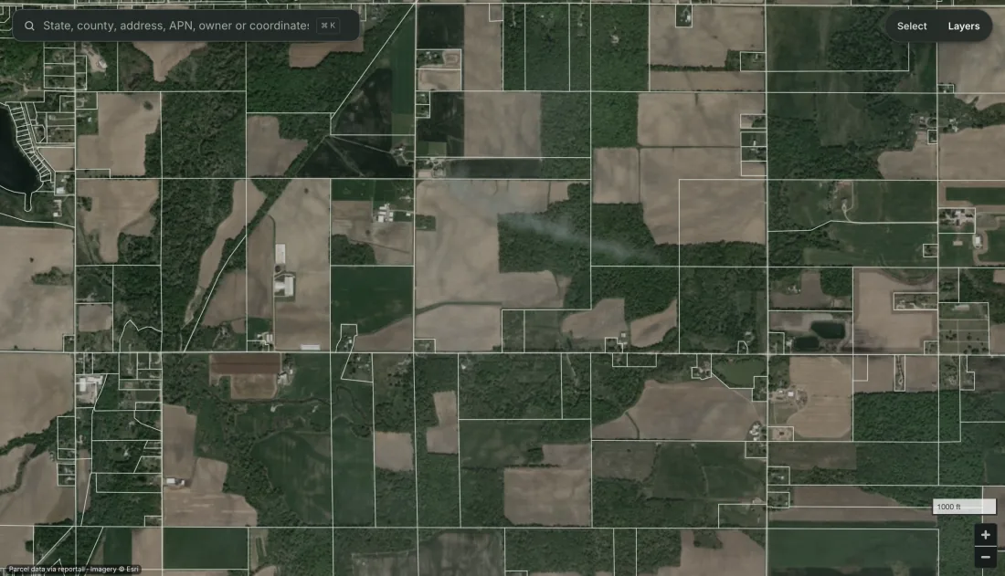
Find the right planning authority
Allegan County and Allegan Township are different jurisdictions. Do not apply one township's zoning map to a parcel somewhere else in the county.
Identify the municipality first, then ask its planning or zoning office which rules govern the parcel and your intended use. For property within Allegan Township, its forms and permits page provides a starting point. For another jurisdiction, use that jurisdiction's resources.
A useful question is specific:
I am researching parcel [ID] in [township or city] for [intended use]. Which zoning district and ordinance sections apply? What approvals, restrictions, or parcel-specific information should I investigate before purchasing?
Save the response with the question you asked. An answer about a house does not answer whether you can camp there while building it.
Separate the road you can see from the access you can use
A line on a map or a track in an aerial image is a starting observation. It does not settle who can use the route, for what purpose, or on what terms.
The Allegan County Register of Deeds is the county source for recorded land documents. Have relevant access documents and restrictions reviewed by a qualified title or legal professional. Investigate the physical route separately, including its condition and any work needed to reach the intended site.
Write the finding narrowly: “A track appears in the image. Applicable access rights have not been established.” That sentence tells you what to do next.
Check whether the intended site can support the use
For a proposed home, water and wastewater questions can change the project before you ever price a foundation.
Allegan County Environmental Health provides site evaluation and well and septic permit services. Ask which evaluation fits the parcel and proposed use, what it covers, and what remains to be approved.
Use USDA Web Soil Survey for preliminary soil research. Keep that screening separate from a parcel-specific site evaluation. Use the FEMA Flood Map Service Center to review available flood mapping. Neither a pleasant aerial photo nor a single map layer answers every site question.
List unresolved terrain, drainage, wetlands, utility, and boundary questions. Get the appropriate office or professional involved where the intended use depends on the answer.
LandOSMap · Terrain view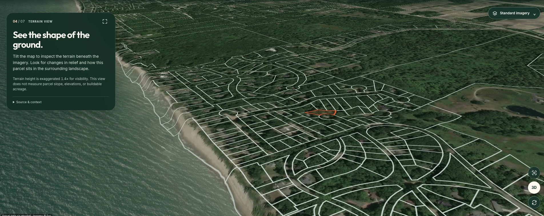
Check taxes through the right office
The county's tax FAQ distinguishes local current-tax questions from county delinquent real-property tax questions. Check both where applicable rather than assuming one displayed balance is the whole picture.
Ask your closing professional how taxes, assessments, title findings, and other obligations will be addressed in the proposed transaction. Save dated answers, not just a screenshot with a dollar amount.
Compare parcels a buyer would actually consider
Build a short list of relevant completed sales. Record the source, sale date, acreage, location, access, utilities, intended-use constraints, and transaction details you can substantiate. Put asking prices in a separate group.
Explain why each sale belongs in the comparison. Five acres with unresolved access is not automatically comparable to five acres with established access and usable services. If material details are missing, mark the comparison incomplete.
Do not start with a county-wide price per acre and multiply. Start with the differences that would matter to a buyer.
Finish with a decision you can explain
Your first review can fit on one page:
- The parcel and intended use.
- What the evidence supports.
- What remains unknown.
- The next person or office to contact.
- The costs and sale assumptions still needing support.
- The reason to keep researching or stop.
Keep unresolved items visible. A low asking price does not resolve them.
LandOS gives you a place to organize parcel research and the work around a potential deal. Start with one Allegan County parcel, then build a review you can explain.
Next: Learn how to buy land or test the numbers in the deal calculator.
LandOSLists · Organize your research